 Fasilitas Umum
Pelabuhan
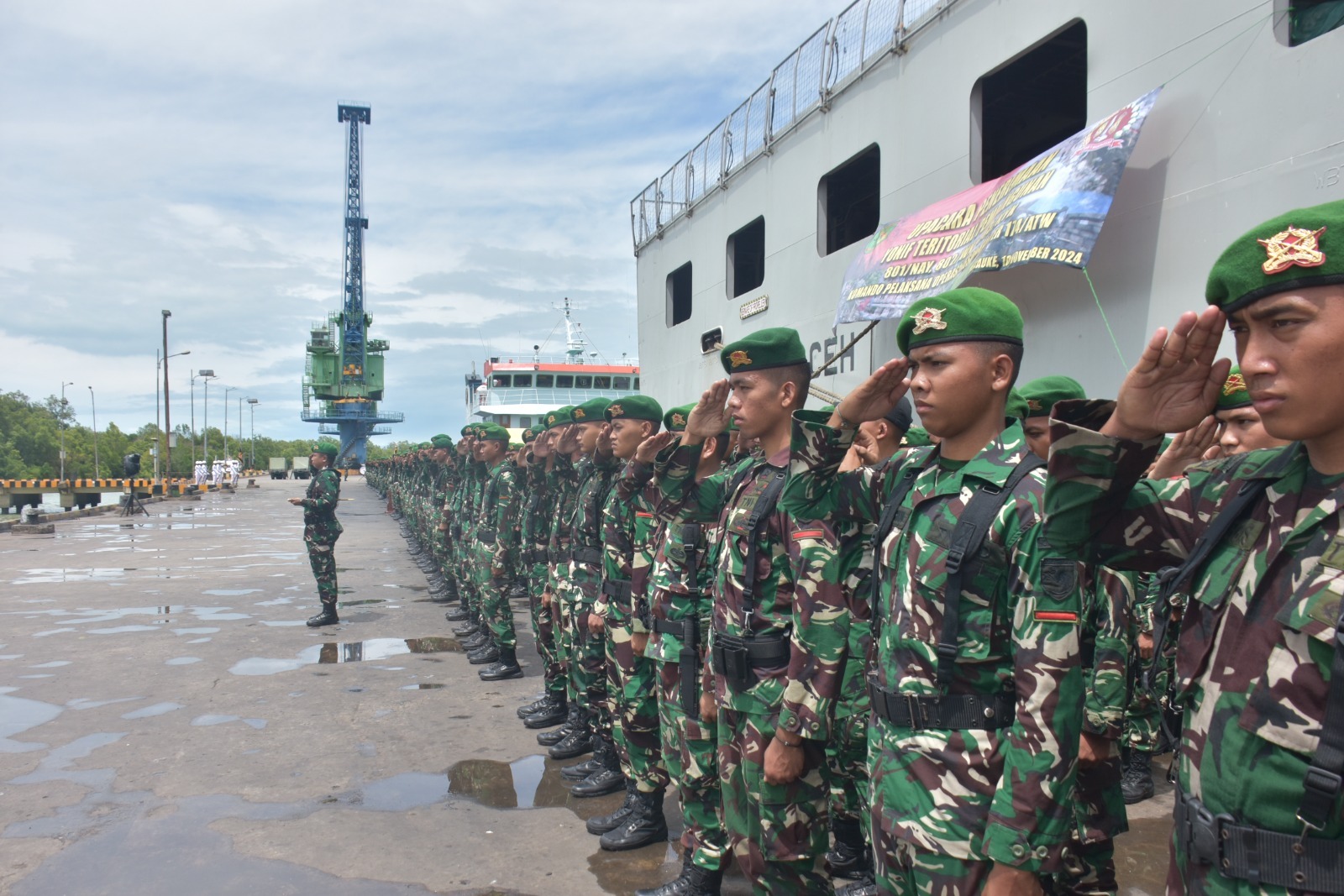
PELABUHAN MERAUKE
Panjang Dermaga : 158 m
Luas Gudang Terbuka : 600 m²
Alamat :
Jln. Yos Sudarso No. 9
Merauke, 99613 – Papua, Indonesia
Phone : 0971 – 321304
Fax : 0971 – 321884
Posisi :
08° 28’ 00” S / 140° 23’ 00” E
No. of Map
Map No. 198 (Sungai Maro)
Anchorage
08° 87’ 00” S / 140° 15’ 00” E
08° 28’ 09” S / 140° 23’ 30” E
Local Time
GMT + 9 hours
Max. Size
Max Draft 6 m
Operational Time
Open 24 hours, even in holiday.the depth of draft acces channel as 6 m maximum, when the condition as high water spring 4.8 m for any time to enter or exit berth.
Radio
Merauke Coast Radio Station, call sign PKY 5, operates 12 hours, VHF Channel 16-L18 Emergency Channel 10, 11,12, 20, 21, 26.
WEATHER AND CLIMATE
Tidal
| Top High | : 54 M |
| Average High | : 3 M |
| High High Water Spring | : 6 m LWS |
| Mean Sea Level | : 3 m LWS |
| Low Low Water Spring | : 1 m LWS |
| Chart Datum | : 0 m LWS |
Current
Maximum Speed : 4 knot
Wind
Maximum Speed : 3 knot
Temperature
Average : 26°C
Variate : 24°–31°C
HYDRO OCEANOGRAPHY
Navigation Channel
| Length of channel | : 6.5 Mile |
| Width of channel | : 420 M |
| Min. depth of channel | : 1.5 M |
| Max. depth of channel | : 2.75 M |
| Bottom of sea | : Sand/Clay |
Basin
| Square Area | : 5.0 Ha |
| Min. depth of Basin | : 3 M |
FACILITIES
Berth
- Merauke Concrete pier
- Length 74 m, width 12 m
- Length 84 m, width 15 m
- Merauke Wood Pier; length 58 m, width 4 m
- Pertamina Jetty; length 70 m, width 5 m
(sumber: http://www.pelabuhan4.co.id/?p=528)

